Wappen Werleshausen
Home  |  Impressum  | Suche  |  Seitenübersicht  |  Email  |  News   |  Drucken   

Information about Werleshausen

Werleshausen is a very old village. Formerly independent, Werleshausen now belongs to the city of Witzenhausen in the Werra-Meißner district, Federal State Hesse, Germany.

You will find Werleshausen in the circle of this map of Germany.

Local mayor:
Klaus-Dieter Hagedorn, Rimbacher Straße 13, 37214 Werleshausen, telephone 8650
Members in local council: Michael Liebmann, Mechthild Joch-Inkermann, Peter Rode, Manuel Hofmann.

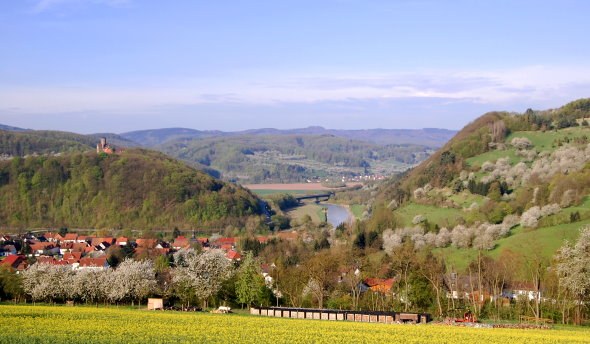
Werleshausen is located in the northern part of Hesse, in the middle of Germany on the Federal Highways B27 and B80, the German Railway's north-south main line and the river Werra. It is situated on the romantic holiday routes known as the "German Holiday Road" which runs from the Alps to the Baltic sea, and the "German fairy-tale route".

Werleshausen at Werra-river

Links in the neighborhood

Hanstein castle Museum of frontier English
Lindewerra European youth week English
Teufelskanzel Ernst-Reuter school English
Ludwigstein castle English aerial view by Google Maps English
Witzenhausen English Bad Sooden-Allendorf English
Werra-Meissner district English University of Kassel - Organic Agricultural Sciences in Witzenhausen English

Facts

First recorded mention: 876 AD

Altitude above sea level: 140 m 

Geographical position :
Longitude 9°55' east;
Latitude  51°19'37'' north 

Inhabitants: about 500 

Postal code / zip code:  37214 

Telephone code : 0049 5542 (Witzenhausen) 

Town: Witzenhausen

district: Werra-Meißner

federal state: Hesse